qgis.org Reviews
is qgis.org legitimate or a scam?Why is the trust score of qgis.org very high?
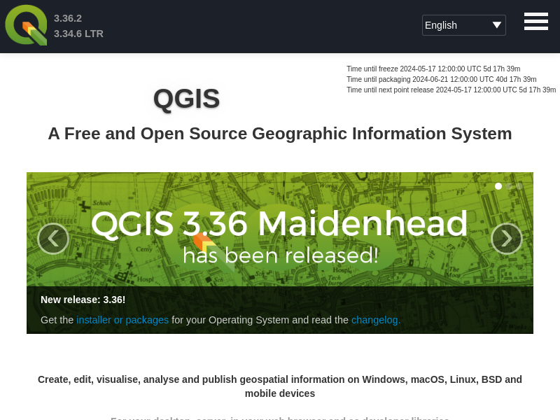
QGIS (Quantum GIS) is an open-source Geographic Information System (GIS) that allows users to create, edit, visualize, analyze, and publish geospatial information. It is widely used by professionals and organizations for various spatial data management and analysis tasks. QGIS is known for its user-friendly interface, extensive features, and the ability to work with different data formats and sources.
Key Features of QGIS:
1. Cross-Platform Compatibility: QGIS is available for Windows, macOS, Linux, and BSD, making it accessible to a wide range of users.
2. Data Visualization: Users can create maps and visualize spatial data in various formats, including vector, raster, and 3D data.
3. Data Editing and Analysis: QGIS provides tools for editing and analyzing spatial data, such as overlay operations, geoprocessing, and spatial querying.
4. Data Source Integration: It supports the integration of data from multiple sources, including online services, databases, and other GIS formats.
5. Customization and Extensibility: QGIS allows users to customize the interface, create plugins, and extend its functionality through Python scripting.
6. Cartographic Output: Users can produce high-quality print maps and export them in various formats for sharing and presentation.
7. Community Support: QGIS has a large and active user community, providing support, documentation, and a wide range of plugins and extensions.
QGIS is widely used in various fields, including environmental science, urban planning, natural resource management, and more. It is favored for its cost-effectiveness, flexibility, and the ability to handle complex spatial analysis tasks.
Overall, QGIS is a reputable and reliable open-source GIS platform that has gained a strong user base and community support over the years. Its continuous development, regular updates, and extensive feature set make it a valuable tool for spatial data management and analysis.”
the reasons behind this review :
Open-source, Widely used in various fields, Cross-platform compatibility, Data visualization, Data editing and analysis, Data source integration, Customization and extensibility, Cartographic output, Community support, Cost-effectiveness, Flexibility, Continuous development, Regular updates, Extensive feature set, Valuable tool for spatial data management and analysis
| Positive Points | Negative Points |
|---|---|
Website content is accessible No spelling or grammatical errors in site content High review rate by AI Domain Age is quite old Archive Age is quite old Domain ranks within the top 1M on the Tranco list | Whois data is hidden |
How much trust do people have in qgis.org?
Domain age :
21 years and 9 months and 19 days
WHOIS Data Status :
Hidden
Website :
qgis.org
Title :
Welcome to the QGIS project!
Website Rank :
23764
Age of Archive :
20 year(s) 11 month(s) 8 day(s)
SSL certificate valid :
Valid
SSL Status :
Low - Domain Validated Certificates (DV SSL)
SSL issuer :
Google Trust Services LLC
WHOIS registration date :
2002/08/01
WHOIS last update date :
2024/05/11
Organization :
QGIS project
State/Province :
NL
Country :
NL
Phone :
REDACTED FOR PRIVACY
Email :
Please query the RDDS service of the Registrar of Record identified in this output for information on how to contact the Registrant, Admin, or Tech contact of the queried domain name.
Organization :
REDACTED FOR PRIVACY
State/Province :
REDACTED FOR PRIVACY
Country :
REDACTED FOR PRIVACY
Phone :
REDACTED FOR PRIVACY
Email :
Please query the RDDS service of the Registrar of Record identified in this output for information on how to contact the Registrant, Admin, or Tech contact of the queried domain name.
IP : 188.114.96.3
ISP : AS13335 Cloudflare, Inc.
Country : US
IP : 188.114.97.3
ISP : AS13335 Cloudflare, Inc.
Country : US
Name :
Vautron Rechenzentrum AG
IANA ID :
1443
Registrar Website :
http://www.vautron.de
Phone :
+49.9415990570
Email :
abuse@vautron.de
Target : jessica.ns.cloudflare.com
IP : 172.64.32.171
ISP : AS13335 Cloudflare, Inc.
Country : US
Target : anuj.ns.cloudflare.com
IP : 173.245.59.65
ISP : AS13335 Cloudflare, Inc.
Country : US
This website was last scanned on August 23, 2024

dynamic-dns.net
The website dynamic-dns.net appears to be a dynamic DNS service, which is a legitimate type of service used to map domain names to IP addresses that change frequently. However, without...

geminin-r.com
The website content provided seems to be related to cryptocurrency trading, specifically showing trading volumes and price changes for various cryptocurrency pairs. However, the information is presented in a somewhat...

warehouseudeals.com
The website warehouseudeals.com appears to be a new domain, as indicated by the domain age of 2 months. The site's content is minimal, with only a copyright notice and a...

